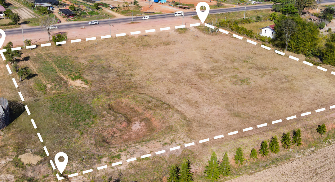
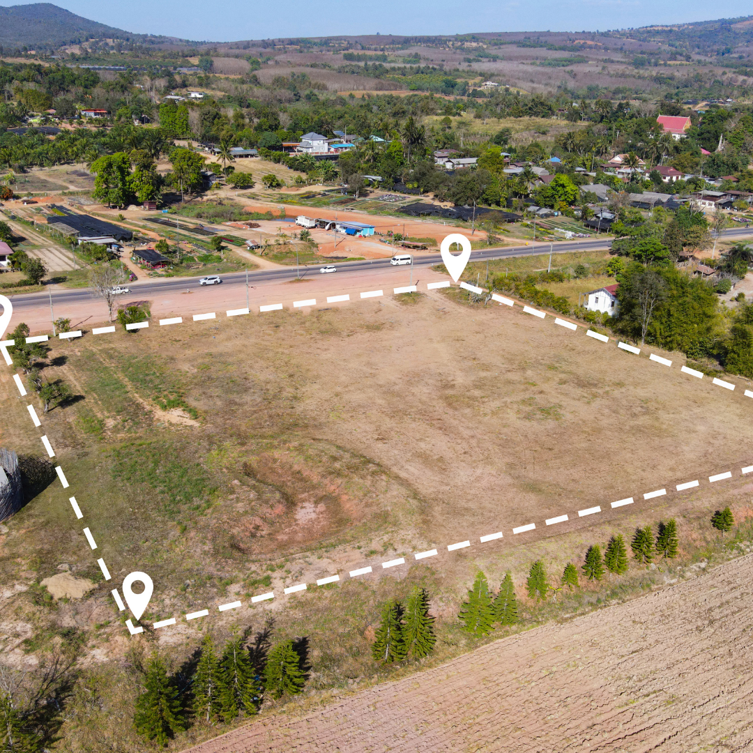
Our boundary marking services ensure that your property lines are clearly defined and respected. We utilize advanced tools and techniques to accurately identify and mark boundaries, giving you peace of mind about your land ownership. Whether you’re settling disputes or just need confirmation, we are here to help.
Exploring Property Demarcation Solutions
We specialize in property demarcation to prevent future misunderstandings over land use. Our team conducts precise measurements and documentation, ensuring that your property boundaries are well established. With our service, you can confidently manage your land and avoid legal complications.
Topographic Surveying Services
Our topographic surveying service provides detailed information on the elevation and features of your land. This is essential for planning construction projects, landscaping, and environmental assessments. We deliver accurate data to help you make informed decisions about your land development.
Lands Office Facilitation
Lets assist you
Due diligence
Land search
Discharge of charge
Land transfer process
Loss of title processing
Precision Driven
Our Expertise
Ensuring accuracy in construction projects
We provide precise surveying services for construction projects, ensuring that every detail is measured accurately. Our expert team uses advanced technology to deliver reliable results, helping you manage your project with confidence.
Mapping infrastructure for better planning
Our infrastructure mapping services help you visualize and plan your projects effectively. By providing detailed layouts and precise data, we ensure that your infrastructure efforts are efficient and well-coordinated.
Supporting land development initiatives
We assist in land development projects by providing essential data and insights that guide your decisions. Our thorough surveys support your vision and ensure that your project aligns with local regulations and standards.
Geospatial Excellence
Our Services
Geospatial Data Collection and Management
We offer reliable Geospatial Data Collection and Management tailored to your needs. Our experienced team uses advanced technology to ensure precision in mapping and data collection. Whether for construction, zoning, pattern recognition, change detection we provide detailed surveys that you can trust.
Innovative GIS Mapping Services
Our GIS mapping services leverage cutting-edge software for visualizing and analyzing geographic data. we help individuals and organizations make informed decisions by transforming complex data into understandable maps, enhancing your project’s effectiveness and efficiency.
Expert Spatial Data Analysis
Our spatial data analysis services provide in-depth assessments of geographic information. By identifying patterns and trends, we empower organizations to strategize based on solid insights, ensuring that your projects align with your goals.